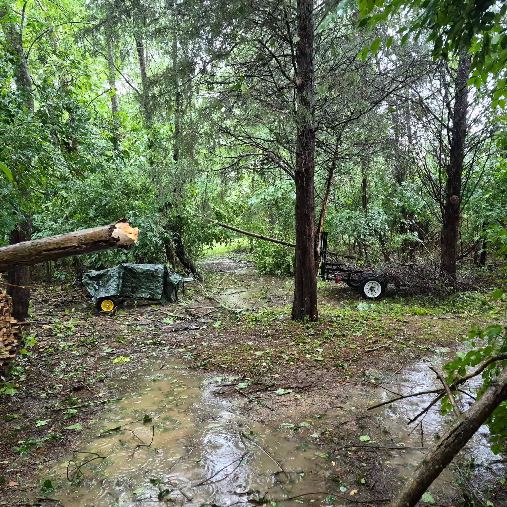
By just before 3 p.m., standing water had already pooled on the right shoulder of I-71 near Ridge Avenue. Heavy flooding forced the closure of multiple lanes beyond Ridge and Kennedy avenues — a corridor that thousands of Cincinnati drivers pass through daily.
This is what back-to-back storm events look like: saturated ground with nowhere left to absorb water, and a new system arriving before the last one is gone.
The National Weather Service issued tornado warnings for portions of Clermont and Brown counties in Ohio, and portions of Owen, Grant, Gallatin, and Carroll counties in Kentucky — all effective through 3:45 p.m. Radar detected rotation near Georgetown, Ohio, and near Vevay, Kentucky. Both storm cells were considered capable of producing tornadoes.
This is the kind of multi-county threat that demands you know your county's warning zone before storms arrive — not during them.
Your County's Status
How Ready Is Your Household?
Four questions. See where you stand before the next storm.
What is the difference between a tornado WATCH and a tornado WARNING?
- A watch means conditions could produce one; a warning means one has been spotted or confirmed on radar — Correct. Tuesday's National Weather Service tornado warnings were triggered by radar-confirmed rotation near Georgetown, Ohio and Vevay, Kentucky — not just favorable conditions. That distinction matters for how fast you need to act.
- A warning is less serious — it just means forecasters are watching the sky — Actually, it's the opposite. A WARNING is the more urgent alert — it means rotation has been detected by radar or a tornado has been spotted. Tuesday's warnings covered Clermont and Brown counties in Ohio and four Kentucky counties.
- They mean the same thing — both require immediate shelter — Taking shelter during a watch is smart, but the terms are not interchangeable. A watch means conditions are favorable; a warning means a threat has been confirmed. Tuesday's NWS warnings were based on actual radar rotation.
Why did Tuesday's storms cause flooding even though they weren't the season's worst?
- The ground was already saturated from flooding four days earlier — Exactly right. Parts of the Tri-State were still cleaning up from downpours that left homes and businesses flooded just four days before Tuesday's storms arrived. Saturated soil has nowhere to absorb new rainfall.
- Cincinnati's storm drains were recently reduced in capacity — The article doesn't cite drain capacity as a factor. The key issue was timing: major flooding just four days earlier had already saturated the ground, leaving it unable to absorb Tuesday's new rainfall.
- Tuesday's storms were the strongest of the year — The article doesn't characterize Tuesday's system as the year's strongest. The flooding was driven by back-to-back events — ground still saturated from storms four days earlier couldn't handle additional rain.
Where on I-71 did Tuesday's flooding force lane closures?
- Near Ridge and Kennedy avenues — Right. Ponding was observed on the right shoulder of I-71 near Ridge Avenue just before 3 p.m., and heavy flooding shut down multiple lanes beyond Ridge and Kennedy avenues — a stretch thousands of Cincinnati commuters use daily.
- Near the Ohio River bridges — The flooding on I-71 Tuesday was reported near Ridge and Kennedy avenues, not near the river bridges. Ponding was visible on the shoulder just before 3 p.m. as the storm moved through.
- Near the I-275 interchange — The lane closures Tuesday were near Ridge and Kennedy avenues on I-71, not the I-275 interchange. The right shoulder had standing water visible just before 3 p.m.
- Near Mason-Montgomery Road — The flooding was further south — near Ridge and Kennedy avenues on I-71. Multiple lanes were shut down in that stretch as the storm moved through just before 3 p.m.
The NWS issued tornado warnings for counties in which two states on Tuesday?
- Ohio and Kentucky — Correct. The National Weather Service issued warnings for portions of Clermont and Brown counties in Ohio, and portions of Owen, Grant, Gallatin, and Carroll counties in Kentucky — effective through 3:45 p.m.
- Ohio and Indiana — Indiana was not included in Tuesday's tornado warnings. The NWS warnings covered Ohio (Clermont and Brown counties) and Kentucky (Owen, Grant, Gallatin, and Carroll counties), effective through 3:45 p.m.
- Kentucky and West Virginia — West Virginia was not part of Tuesday's warnings. The NWS issued tornado warnings for Ohio (Clermont and Brown counties) and Kentucky (Owen, Grant, Gallatin, and Carroll counties).
- Only Ohio counties were warned — Kentucky was also included. The NWS warned four Kentucky counties — Owen, Grant, Gallatin, and Carroll — along with Clermont and Brown counties in Ohio, all effective through 3:45 p.m.
What To Do Before the Next Storm
- Know your shelter spot now — Identify the lowest interior room in your home — away from windows. If you have a basement, that is your primary shelter. Do not wait for sirens to figure this out.
- Follow WCPO 9 First Warning Weather — The WCPO 9 First Warning Weather team declared Tuesday a Weather Alert Day before warnings were issued. Turning on Weather Alert Day notifications means you know about threats before the sky darkens.
- Check your county's warning zone — Tuesday's tornado warnings covered Clermont and Brown counties in Ohio, and Owen, Grant, Gallatin, and Carroll counties in Kentucky. Know which NWS county zone you live in — it determines which alerts apply to you.
- Avoid flooded roads — Multiple lanes of I-71 near Ridge and Kennedy avenues were shut down Tuesday due to flooding. Never drive through standing water — turn around, don't drown.
- Share what you see — WCPO 9 is collecting damage photos and videos from the community. Email newsdesk@wcpo.com with storm damage from your area so reporters and meteorologists can track impacts across the Tri-State.
The rotation that triggered Tuesday's warnings was detected near two locations: Georgetown, Ohio, and Vevay, Kentucky. Both storm cells were described by the National Weather Service as capable of producing tornadoes. That the warnings spanned multiple counties on both sides of the Ohio River underscores how quickly a regional storm system can put vastly different communities under the same threat simultaneously.
For Tri-State residents, back-to-back severe weather weeks are a reminder that storm season does not pause between events. The WCPO 9 First Warning Weather team continues to track conditions.