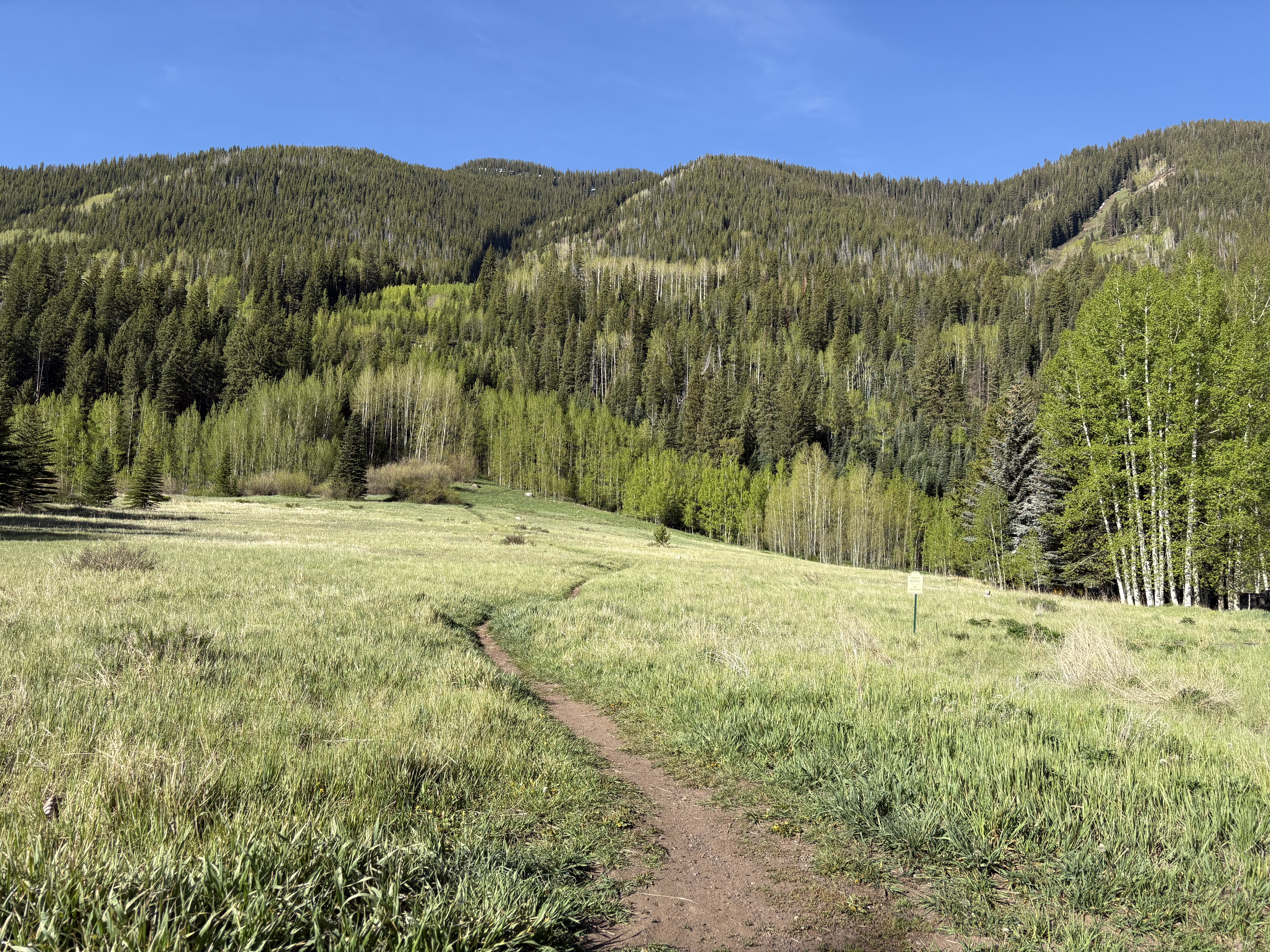
The hike starts at Bighorn Park in Vail. Look for the open space just south of the park, where a single-track trail cuts through the grass. There's a 'No Trespassing' sign, but that's only meant to keep people from wandering toward the nearby condos and garages — not to keep you off the trail.
From there, 'up' becomes the word of the day. This climb is steep, and it doesn't let up for long. At about 1/7 of a mile you'll hit your first creek crossing, where a fat log helps you over. Then it gets even steeper before easing into a small meadow with a view.
Your Trail, Step by Step
- 0 mi — Start at Bighorn Park, find the single track south of the park
- 1/7 mi — First creek crossing — a fat log helps you over
- 0.3 mi — Lower Murphy Creek Falls — side trail leads under the falls
- 0.9 mi — Creek crossing with logs and branches — don't cross, go up the creekside trail
- ~1 mi — Murphy Falls — your turnaround point (2 mi round trip, 450 ft gain)
- +1/4 mi — Optional push to the cell tower access road (2.6 mi, 570 ft gain)
Two Ways to Hike It
| Murphy Falls | To the Cell Towers | |
|---|---|---|
| Round-trip distance | ~2 miles | ~2.6 miles |
| Elevation gain | 450 ft | 570 ft |
| Turnaround | Murphy Falls | Cell tower access road |
| Trail source | On AllTrails | Shown on AllTrails (+1/4 mi) |
To reach the upper falls, keep climbing past lower Murphy Creek Falls through dense forest, with a couple of meadows opening up for views. About 0.9 miles from the park you'll reach a crossing crowded with logs and branches. Two paths split here — one goes across the water, one heads uphill along the creek. Do not cross. Take the creekside trail up just a few steps to find Murphy Falls.
That's your natural turnaround. If you've got the AllTrails app, you'll see the trail push another quarter mile to an access road serving nearby cell towers and equipment — the only reason to keep going past the falls.
Your Visit Checklist
- Park along Juniper Lane or E. Meadow Drive — Search Bighorn Park in Vail. Parking spots are available along the side of these streets.
- Find the single track south of the park — It cuts through the grass in the open space. The 'No Trespassing' sign is only to keep people away from nearby condos.
- Expect a steep, sustained climb — 'Up' is the word of the day. Two creek crossings have logs to help early on.
- At 0.9 miles, don't cross the creek — Take the creekside trail up a few steps to reach Murphy Falls — your turnaround.
Plan Your Hike
- Trailhead: Bighorn Park in Vail. Park along Juniper Lane or E. Meadow Drive — spots are available.
- Navigation: Murphy Falls turned up on the AllTrails app, which also shows the optional quarter-mile extension to the cell towers.
- Questions or hike suggestions: Email HikingDebbie@gmail.com, or follow along at Facebook.com/DenverHikingExaminer for more great hikes.
Murphy Falls is the kind of find that makes Vail's mountains feel endless — a waterfall hiding in plain sight, just behind a neighborhood park, that even longtime locals have walked right past. For Denver-area hikers looking for a short, steep adventure with a big payoff, it's an easy day trip up I-70.
Whether you stop at lower Murphy Creek Falls after 0.3 miles or grind out the full 2.6 miles to the towers, you'll have stood beneath a cascade most people in this state don't even know exists. That's the whole point of chasing Vail's waterfalls.
Sources & References
- Primary source: news — Deb Stanley
- AllTrails — Trail route and quarter-mile extension to the cell towers beyond Murphy Falls